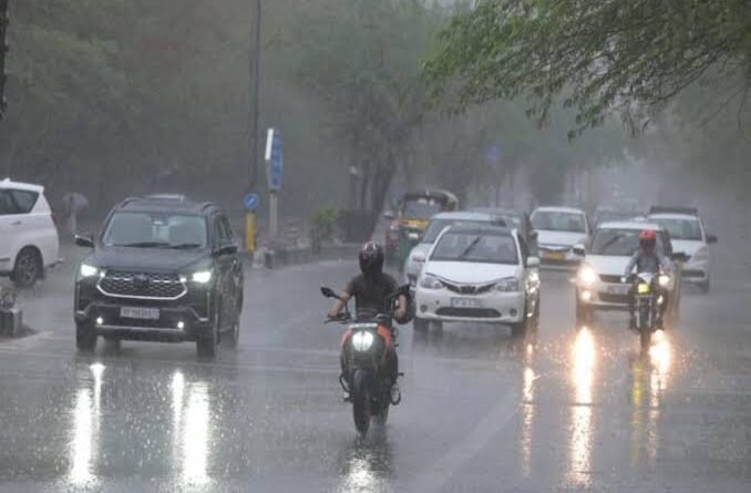
Northwest And East India Likely To Witness Heavy Rainfall In Next 4-5 Days: IMD
NEW DELHI: Parts of northwest, east and northeast India are likely to witness heavy rainfall in the next 4-5 days, the India Meteorological Department (IMD) said.
The monsoon trough is near normal position at mean sea level and a cyclonic circulation is lying over southeast Pakistan and a trough is running from southeast Pakistan to Bangladesh at lower tropospheric levels.
Under their influence, widespread light to moderate rainfall accompanied with thunderstorm and lightning is very likely over northwest and central India during next five days.
While it has been raining over most parts of the country, Jammu & Kashmir and Ladakh are continuing to record extremely high temperatures with Kashmir reeling under heatwave conditions.
The maximum temperature in Srinagar on Wednesday was 35.6°C, 6 degrees above normal.
“It’s still very hot in Kashmir and Ladakh where heat wave still persists as day temperatures are above normal by 5 to 6°C. In the otherwise cold desert of Ladakh, maximum touched 31.9°C in Leh and 33°C in Kargil,” said Sonam Lotus, scientist with IMD Leh.
“One of the reasons for this heat spell is prolonged dry spells. We are hoping that there will be relief from Friday as monsoon rainfall is expected over the region,” he added.
There is a 4% deficiency of monsoon rain over the country; 21% deficiency over northwest India; 3% deficiency over east and northeast India and 12% excess over northwest India.
Jammu and Kashmir has had a 30% rain deficiency since June 1.
According to IMD, there will be isolated heavy rainfall likely over Jammu-Kashmir-Ladakh-Gilgit-Baltistan-Muzaffarabad on June 5 and 6; Himachal Pradesh on June 6 and 7; Uttarakhand on June 8; Punjab on June 6 and 7; Haryana, Chandigarh till June 6; Uttar Pradesh till June 8, East Rajasthan on June 5 and 6.
Isolated very heavy rainfall is likely over Jammu and Himachal Pradesh on June 5; over Uttarakhand till June 7; Punjab on June 5; Uttar Pradesh on June 5 and 6.
A cyclonic circulation is also lying over northeast Rajasthan and a trough runs from northeast Rajasthan to Bangladesh and a trough is running roughly in lower tropospheric levels.
Another cyclonic circulation is lying over west Jharkhand in lower & middle tropospheric levels.
Under the influence of these systems, widespread light to moderate rainfall accompanied with thunderstorm, lightning is very likely over east and northeast India during next 5 days.
Isolated heavy rainfall very likely over Gangetic West Bengal; Andaman & Nicobar Islands; Jharkhand; Odisha; Bihar and the northeastern states during this period.
“The monsoon trough is oscillating. It’s now near its normal position but we expect that it will shift to the north of Delhi again. So, Delhi may see patchy rain. There is likely to be heavy rain mostly over north Rajasthan, north Punjab, Himachal Pradesh and Uttarakhand but Jammu and Kashmir region again may not get as much rain,” said Mahesh Palawat, vice president, climate and meteorology at Skymet Weather.
HT had reported on July 1 that water levels are rising in Ladakh’s rivers.
This was mainly due to high temperatures leading to faster melting of glaciers according to officials. (HT)
